TUESDAY, 27 OCTOBER 2026
(Radium Hot Springs, BC – Canmore, AB)
Woke up to my alarm after a good sleep (first time this trip that the alarm has been needed). Looked out of the window to dark skies, and overnight sleep and snow. Oh, and the grazing big horn sheep wandering around across the road. I couldn’t help imagining if we had wild sheep at home, rather than them being farmed animals kept in the fields, how we’d wake up most mornings to see them eating the grass. This then led to a realisation. I had noticed how most of the grass in Jasper outside people’s houses was well maintained and neatly cut. It now occurs to me it is far more likely that it was simply being neatly eaten by the elk.
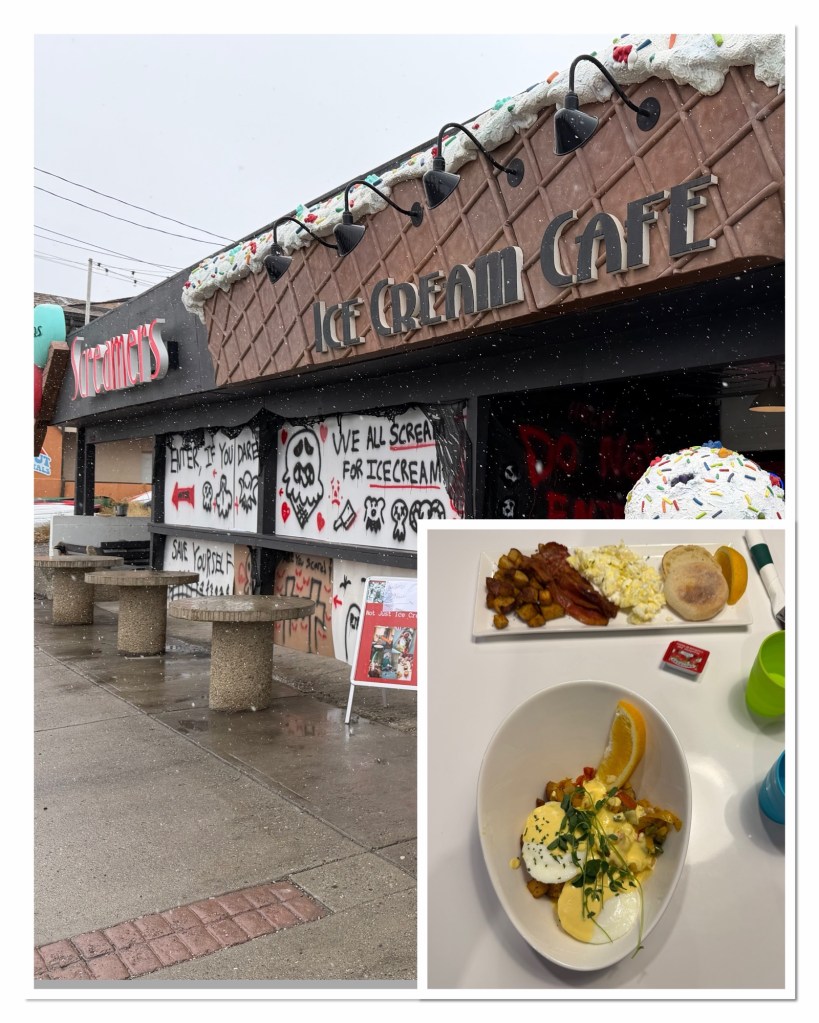
We decided to have breakfast at a local cafe, although checking online revealed my first choice was closed for the off season, opening again in December. So, nothing for it but to head to the Screamers ice cream shop… I should add, before you think we had ice cream for breakfast on a day when it’s snowing and below freezing, that they also did breakfast. A very good breakfast. Very tasty.
This set us up for the trans-Rockies drive, passing the hot springs, which were steaming nicely, on our way out of town. I had planned to do a few walks and stop at a few key viewpoints. However, with the snow coming down, and the mountains obscured in the fog, there seemed little point in making these stops. We drove on. I had a plan B, which was to do more in Banff.
During this trip we have used the GuideAlong app a lot, with ‘Bob’ as we named him, informing us of what to see and where to stop. (We discovered this morning that the man who dyed the voice over is actually called Dave, which we would quite happily have called him if we’d known, but by now I think we’re stuck on Bob). Anyway, Bob doesn’t guide this route, but during my research I’d find that the Kootenay National Park, which this road guess through for most of its length, do a similar thing, with stories and information narrated by various park employees. We learned about animals, stunning fish with electricity, animal fences and underpasses, lightning fires, and rescuing a St Bernard’s dog from the canyon.
We missed a few snippets because I forgot that I’d downloaded it for the first 10 miles or so. Ah well.
At times the road got slushy. A snow plough came the opposite way. The road had been gritted and for the most part it held up well, despite the increasingly heavy snow. The trees were pretty though…
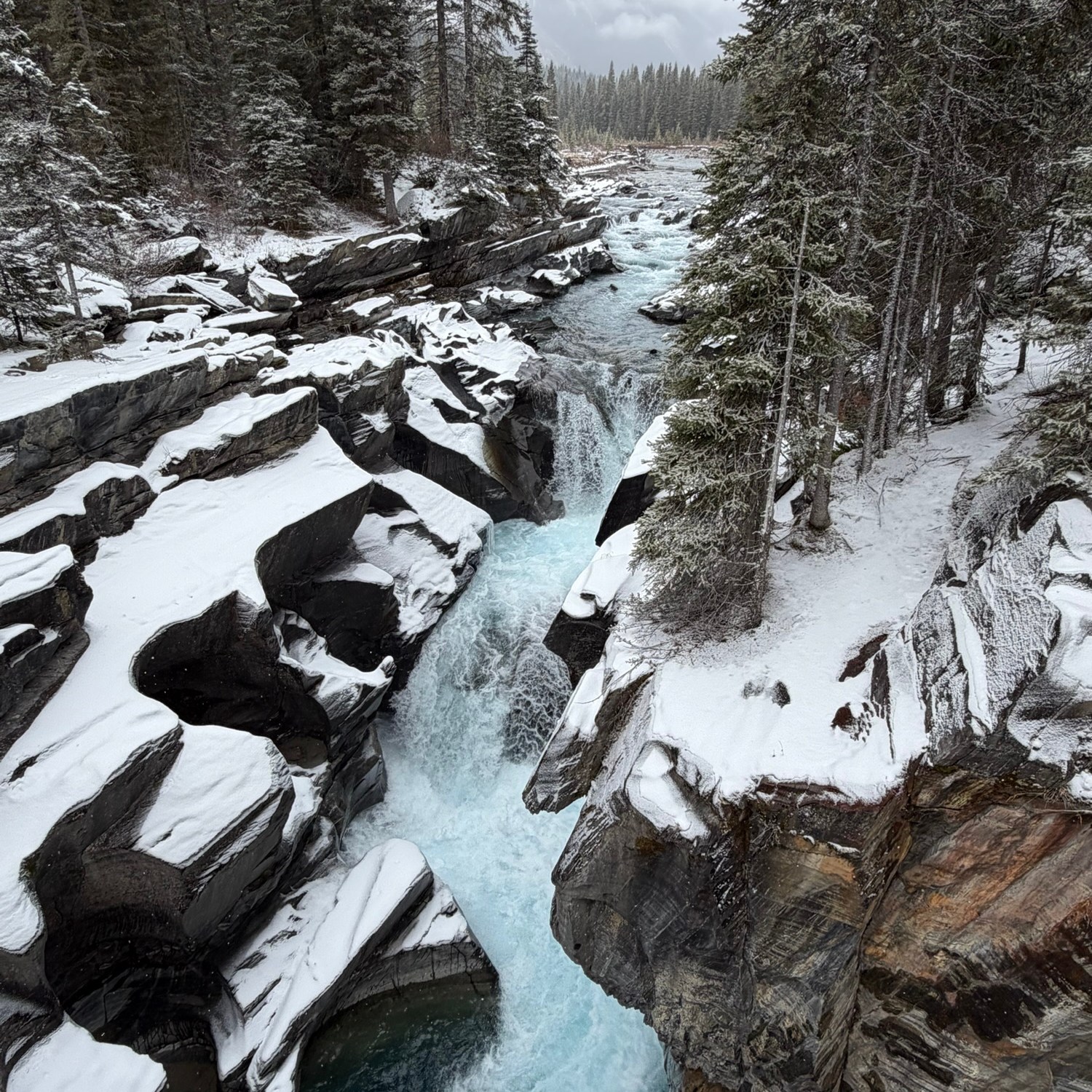
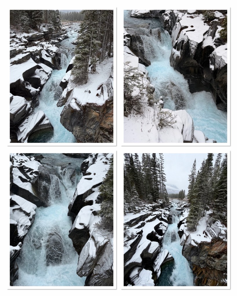
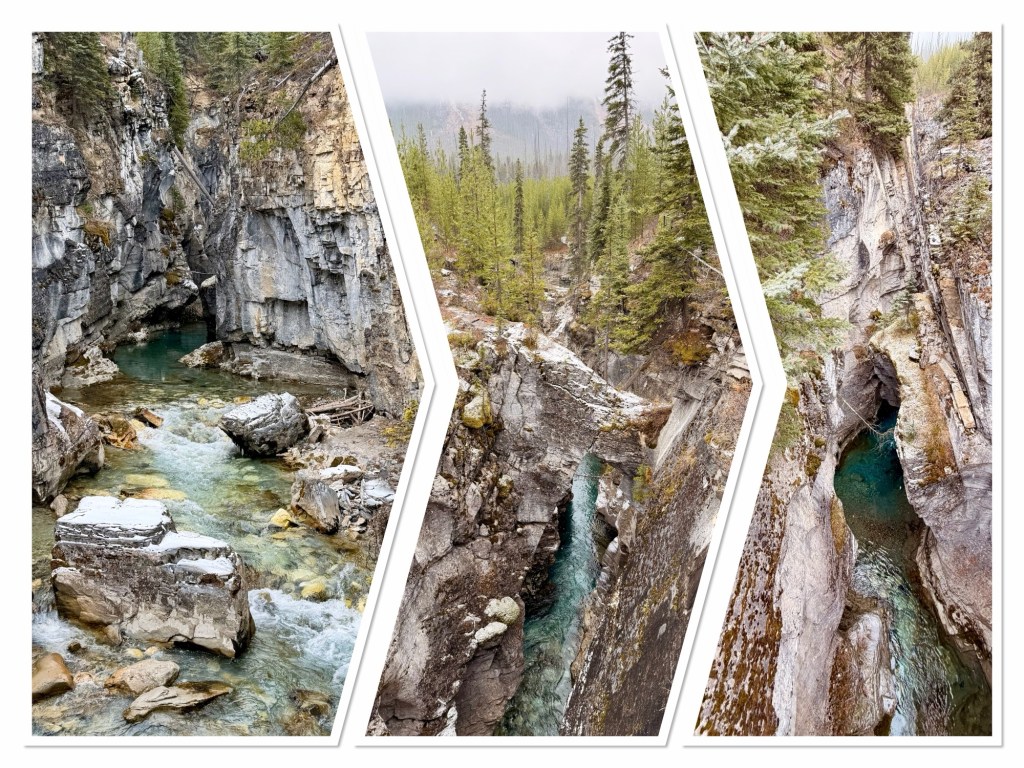
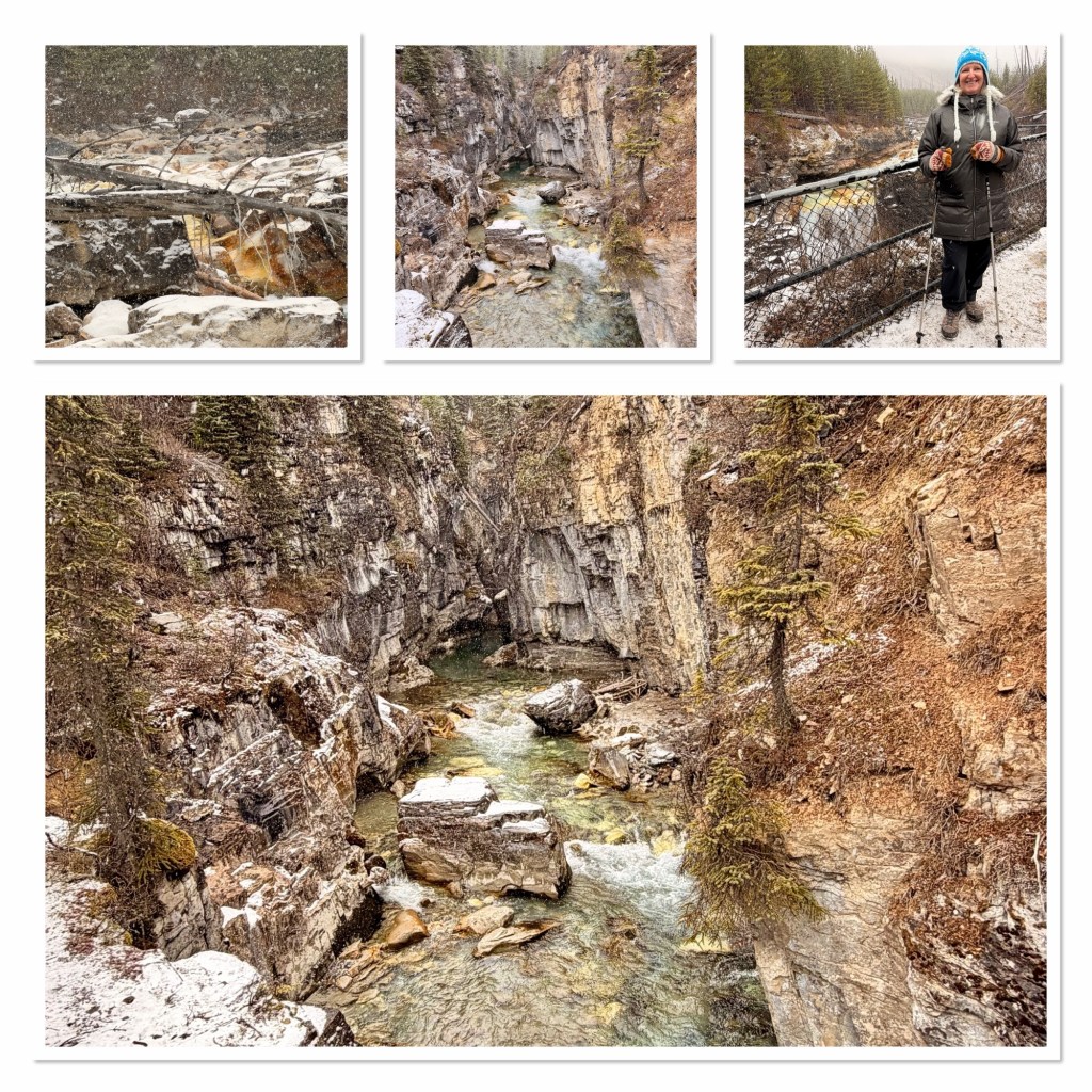
The snow started to ease, and I noted that we were approaching Numa Falls, a waterfall that I’d noted as being a very short walk from the car park. Andrew got a last minute instruction from me to turn in, which he did. This turned out to be a good decision. It was only a short way to a bridge (you could see it from the car) which looked down the river canyon, and up to some falls. The canyon in particular was beautiful with snow covering trees and rocks, contrasting with the milk blue water.
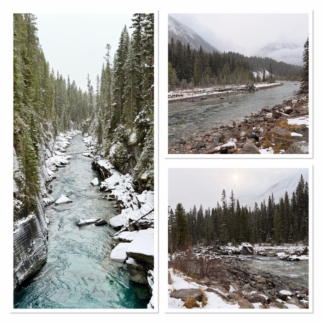
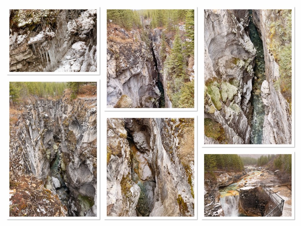
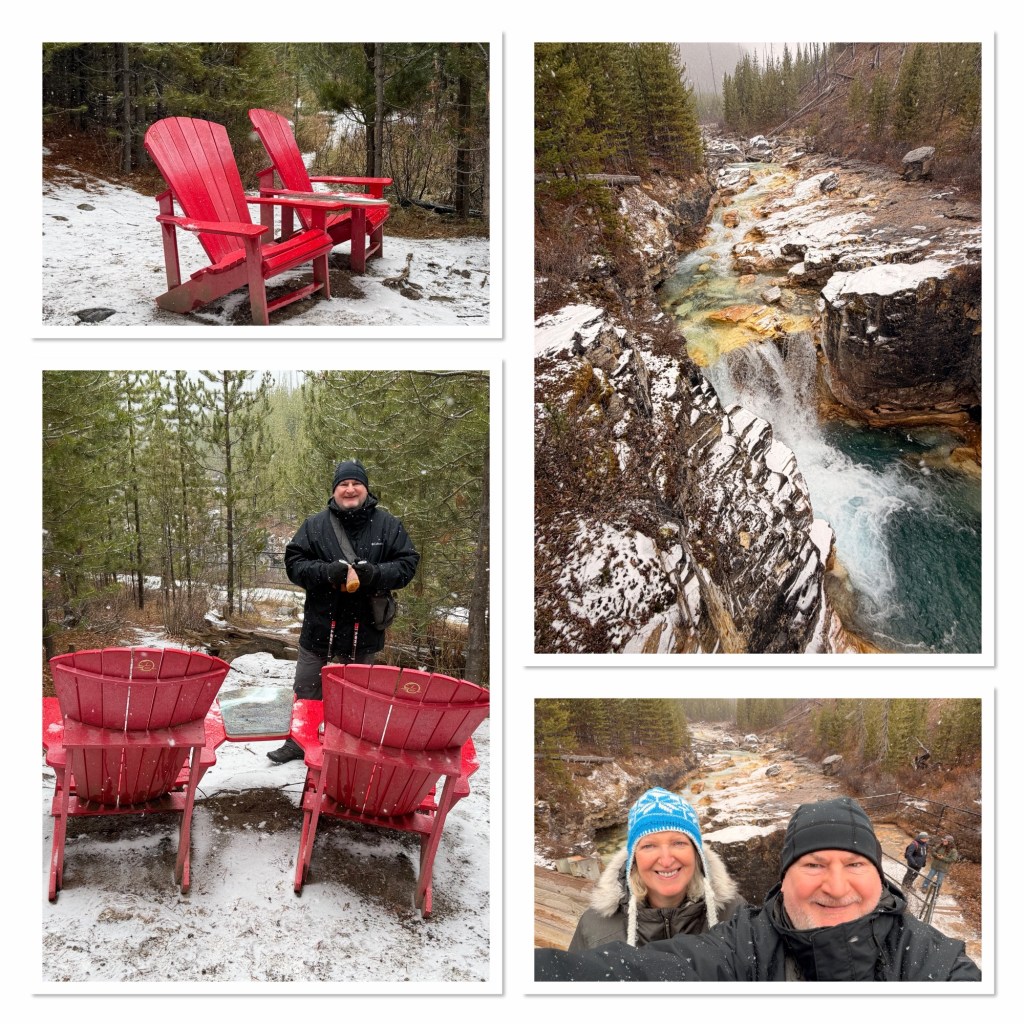
Our next potential stop was just a few miles further on. Spotted on by the success of seeing Numa Falls, we stopped at Marble Canyon. When we set off on this walk, which is just over a half mile each way, it was barely snowing, but by the time we finished (and we did take out time with the canyon views and scenery) it was snowing quite heavily. Marble Canyon is noted for “Seven wooden footbridges spanning the gorge, turquoise glacial water from Tokumm Creek, natural stone bridges, and the famous red Adirondack chairs at the end.” While we were looking at the canyon I spotted a black swift flying above the water, which was a treat, as their numbers are diminishing here. The canyon is dizzyingly deep to look at. It becomes 40m deep and is only 3-6m wide. Apparently in winter the falls freeze completely and become a popular ice climbing destination. Online photos are quite spectacular.
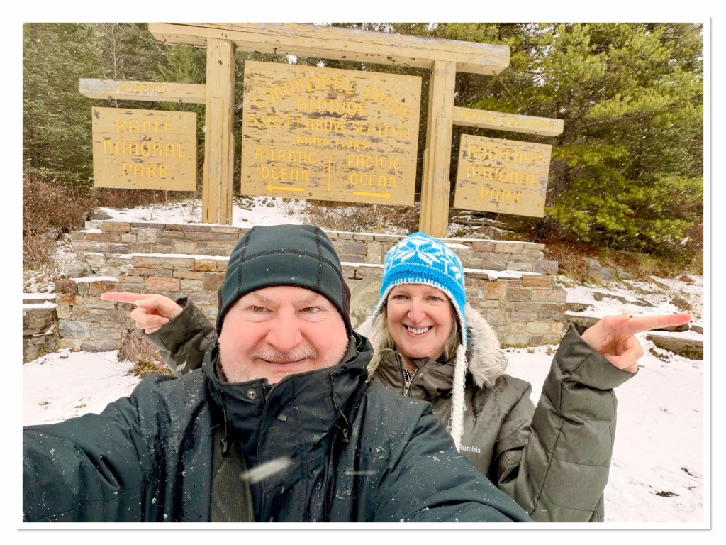
That left our final stop on Highway 93 as the Continental Divide, where water either flows to the Pacific or Atlantic Ocean, depending on which side it is. It is also the line between British Columbia and Alberta, and the Kootenay and Banff National Parks.
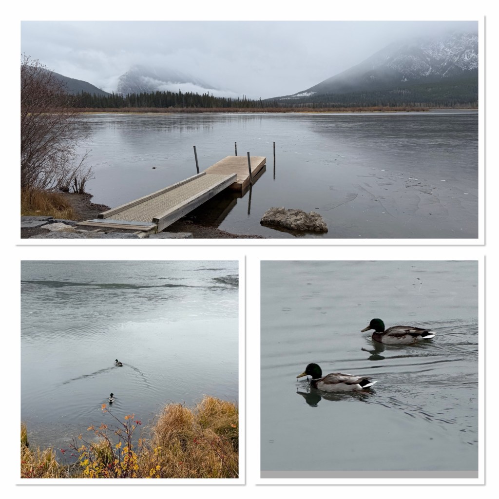
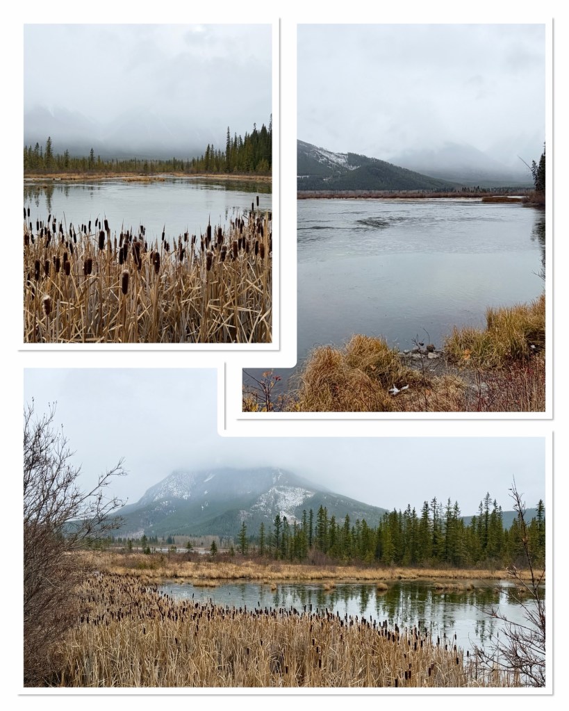
From there we descended and made our way into Banff. We drove around the side of the Vermillion Lakes. Although we didn’t visit these last week, they would have provided a reflection of Mount Rundle. Today, they were largely frozen over, and the mountain was obscured by cloud, providing a different kind of beauty.
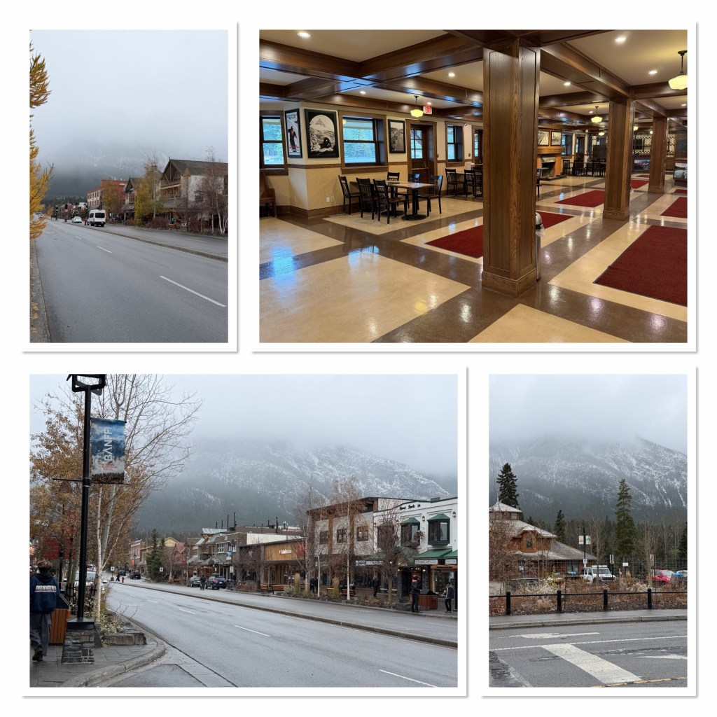
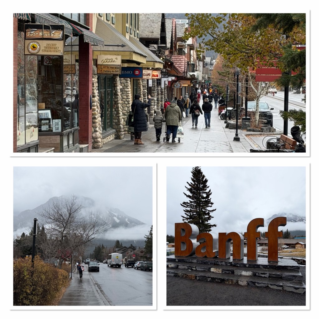
After that we parked at the train station, which dates from 1910, before walking into the town centre for a little look. Generally speaking, it’s not our type of place. Too expensive, too upmarket, too touristy and too busy. That said, as we were finishing out walk around we did spot a Columbia store, and Andrew did fancy a new warm woolly hat to keep him warm. We also passed a Lindt chocolate store with its amusing window display, but resisted going in there.
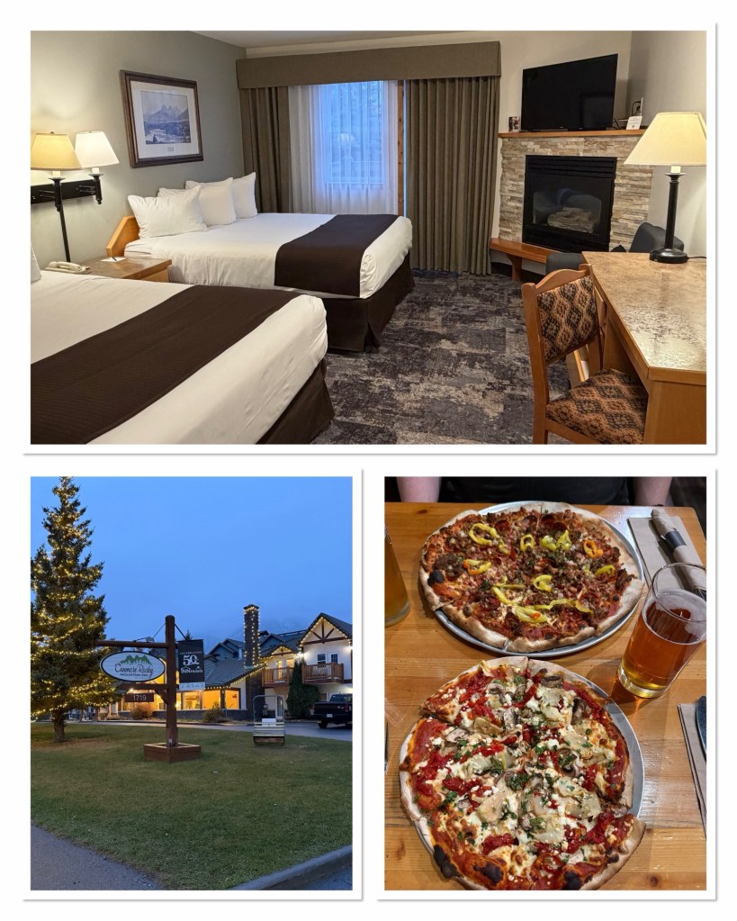
Then it was time to drive to Canmore and check in at our hotel, this time staying at the Rocky Mountain Inn. We have a view of the mountains (if indeed they come out of the clouds) and a nice room with a (gas) fireplace, so if it gets really cold we’ll be fine. After a bit of a rest we decided that the pizza place was that good that we were fully prepared to walk the mile each way, in light drizzle, to have some. And so we did. On the way back our walk was stopped for several minutes at the level crossing as a goods train came through. It had approximately 149 containers (I may have missed the odd one, it was moving at a clip). They are quite impressive up close (and there was no pedestrian barrier our side…). The engines must have huge amounts of power to pull all of that up the mountain pass.
More snow is expected for tomorrow so we’ll have to see what the day brings.
[Editor’s note: some things are best shown through the medium of film, so a video of a free random bits of today is here https://vimeo.com/1240092095].
[Editor’s second note: yes, there are more road trip photos which, if it snows , I might sort out tomorrow. And yes, I still owe you yesterday’s…].

