WEDNESDAY, 21 OCTOBER 2026
(Canmore, AB – Jasper, AB)
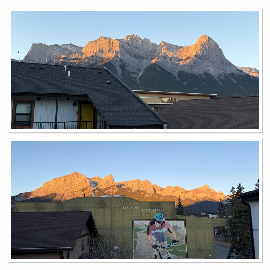
I woke up properly at about a quarter to seven, so that was good. I lay in bed and curated the video for the Johnson Loop hike and then got up and made a pot of coffee, the first cup helping focus on packing. As the sun rose I nipped out to look at the mountains; it’s a better view from the balcony above us, as it clears the roof tops (it was about -2C, and I may have been wearing my pjs under my big coat, with my slippers, but I can neither confirm nor deny) before coming back in to shower before we headed back to Graze for breakfast (it doesn’t open until 9am, so no reason to rush).
Another lovely breakfast later, we returned to our room, closed the lids on the case, loaded the car and set off for Jasper. The first hour took us up the Trans-Canada highway, past Lake Louise and onto the Icefields Parkway.
[Editor’s note: we’ve left the camera in the car, I’m already in my pjs, so the road trip photos will have to wait until tomorrow!]
After 33 kilometres, we made our first stop, pulling over to look at the Crowfoot Glacier, named after its three toes, one of which unfortunately melted away in the 1940s.
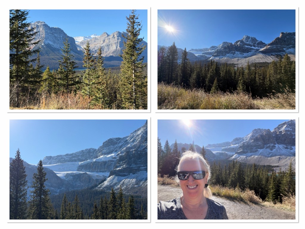
Next up, just a few kilometres later, was a look at Bow Lake.
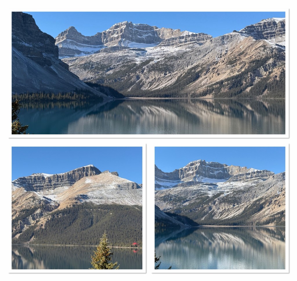
The driving for the whole route was made considerably more interesting by using an app I had purchased called GuideAlong. This provides navigation and stop information, as well as geology and history stories as you drive, all based on your gps location. We continued for another few kilometres and we stopped at Peyto Lake, named after an early trail guide who lived in the area.
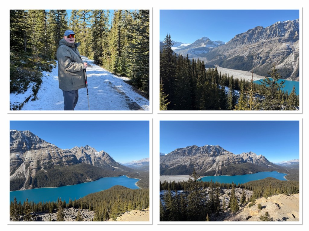
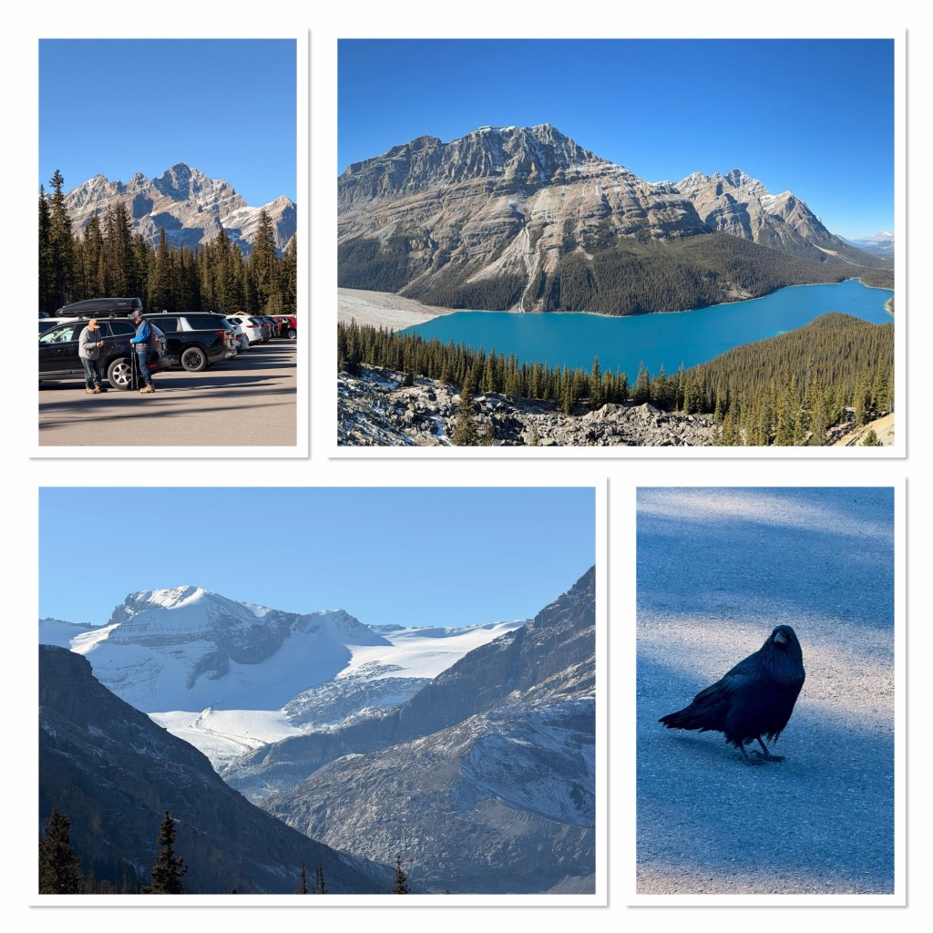
This stop required a half mile walk to the viewpoint, so we set off from possibly the most scenic car park you can have, to wards the start of the path. We were met by people saying it was too icy, that they had turned around, and you’d need ice spikes to do it safely. Well…we had spikes in the boot of the car, so we turned back and fitted them to our hiking boots, before setting off again.
The path was indeed icy but, with the spikes on, we were absolutely fine. The ability to walk safely for most seemed totally random depending on their shoes. Some were sliding down, some were trying to cut through the trees at the side of the path, where traction might be better than on the compressed snow and ice, and one unfortunate person had slipped and was awaiting rescue, which was a bit disturbing to see, but he was talking, appeared generally ok, and was seemingly in good hands.
We continued on to the viewpoint. Peyto Lake is famous for its colour, and with the sun fully out today, it was a brilliant turquoise blue.
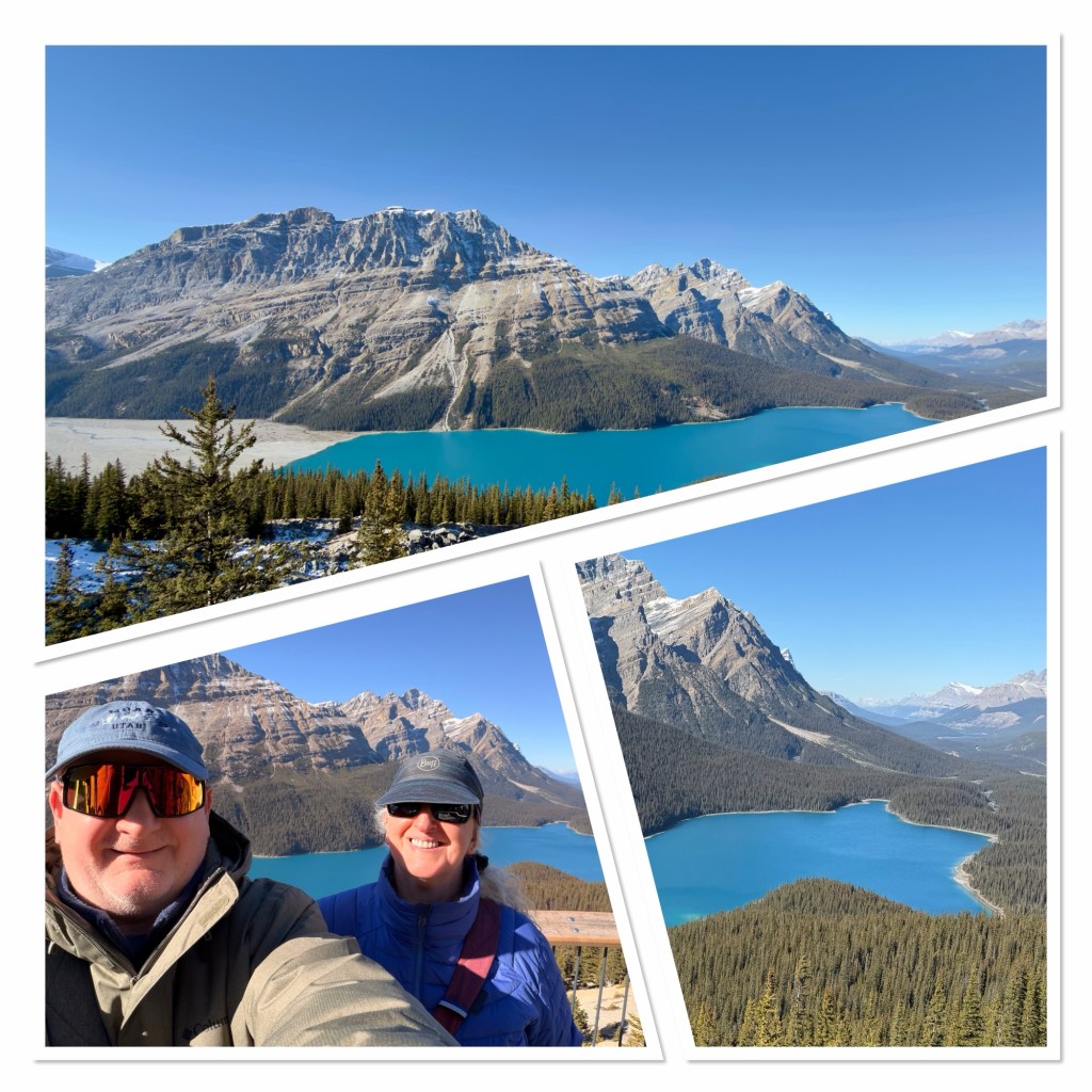
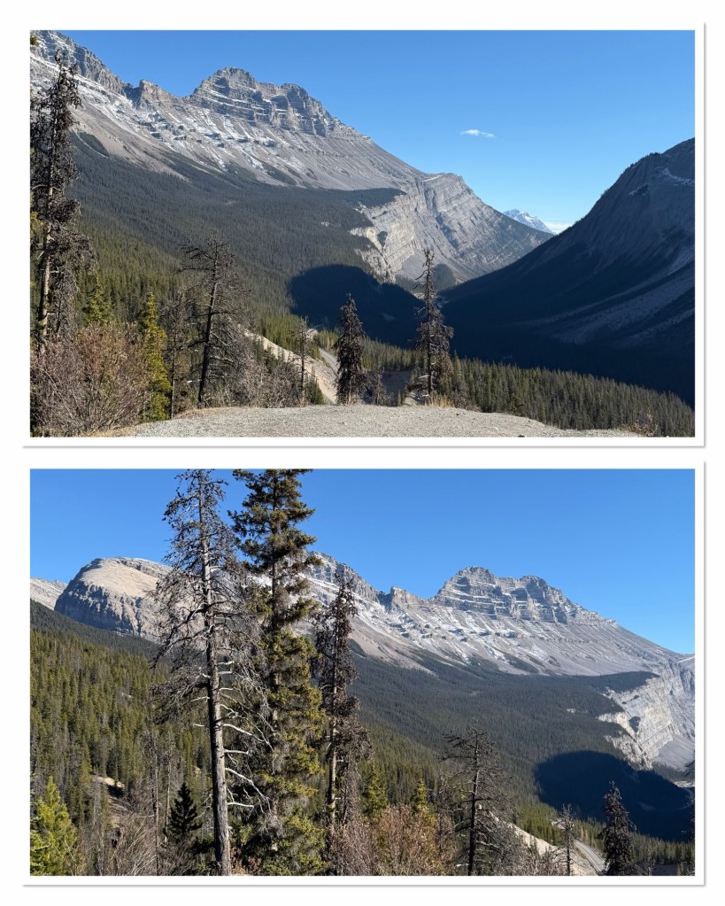
Back at the car we drank some tea, before carrying on. It was 86km to our next main stop, but we pulled over briefly at an overlook at Big Bend to look down on the road we’d just travelled.
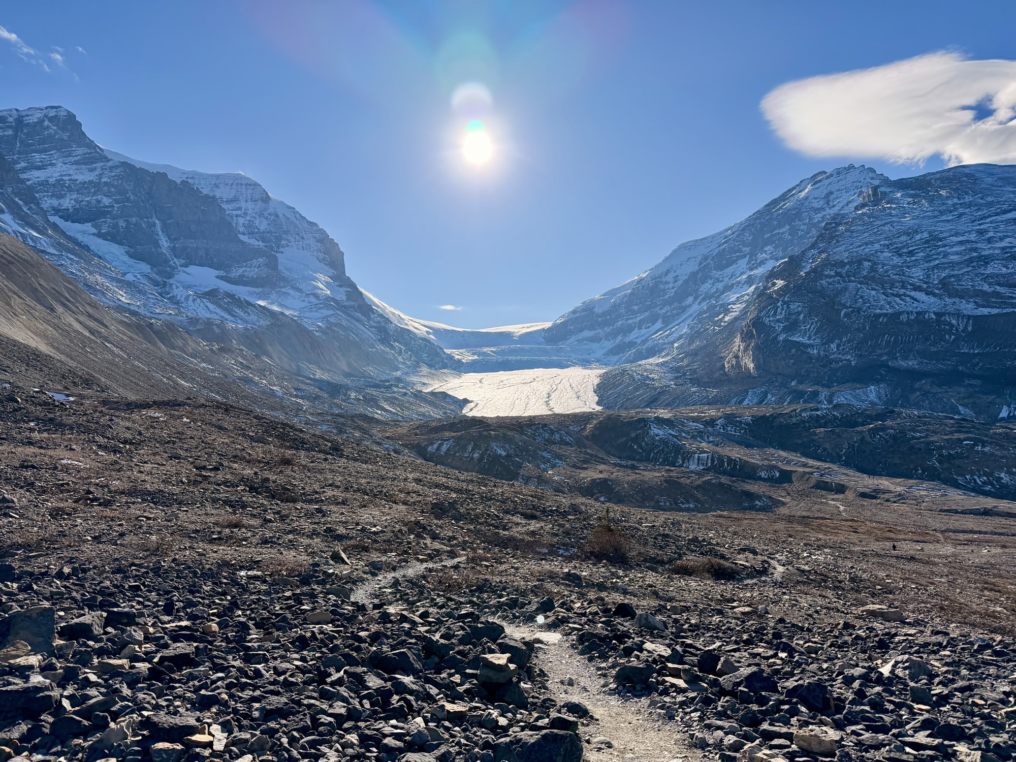
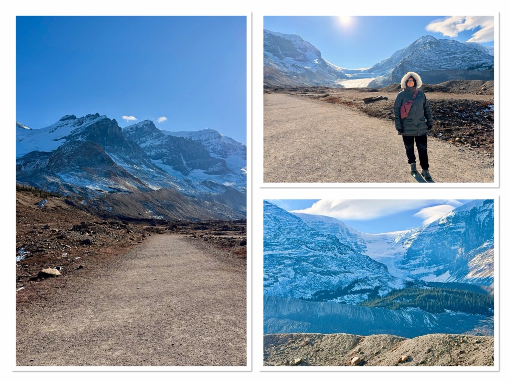
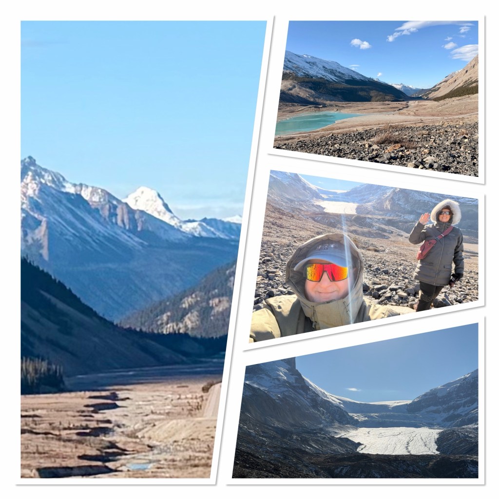
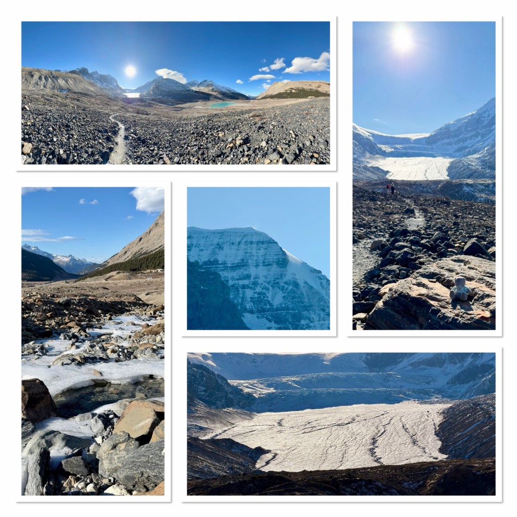
The next stop was the Athabasca Glacier, where we crossed old moraine (100 years ago, the glacier extended up where the car park now is), and closer to the glacier, crossing a partly frozen stream and looking at the lake. The wind was channeling down the mountain, straight from the glacier, and was extremely cold.
Although there were plenty of other places we could have stopped at, time was marching on and so we drove the remaining 107 kilometres to Jasper.
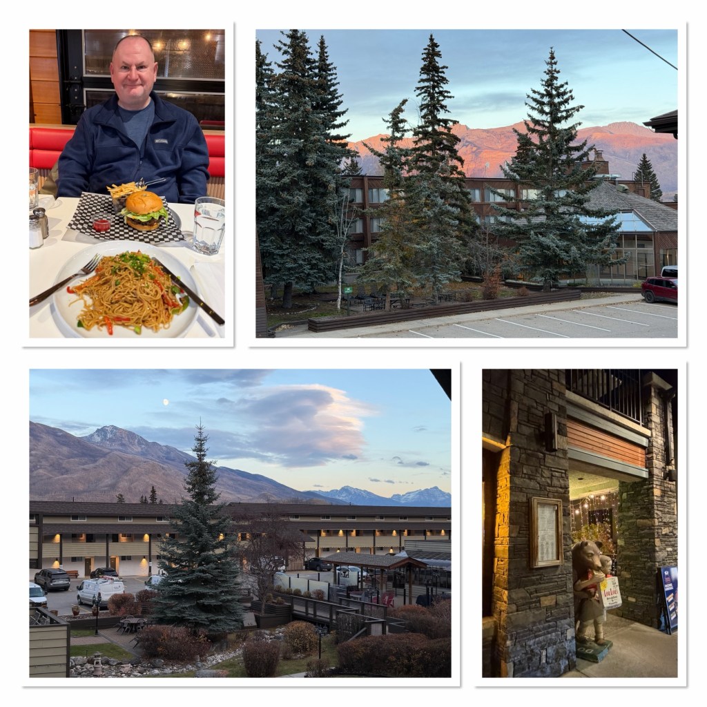
We checked in at the hotel, which is nice but a bit older (it reminds us of rooms at the Grand Canyon). It has a balcony and shortly after checking in we got a lovely view of sunset on mountains across the way, and the moon rising over some other mountains (names to be confirmed tomorrow).
Unfortunately the restaurant is closed at present, so we walked 15 minutes into the main part of town, where we found a diner named Loulou’s. This suited us both, so we had dinner there before returning to our hotel. We’re both quite tired now, so hopefully will sleep well and be ready for more scenic hiking tomorrow.