
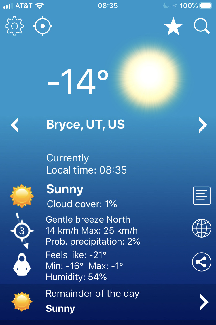
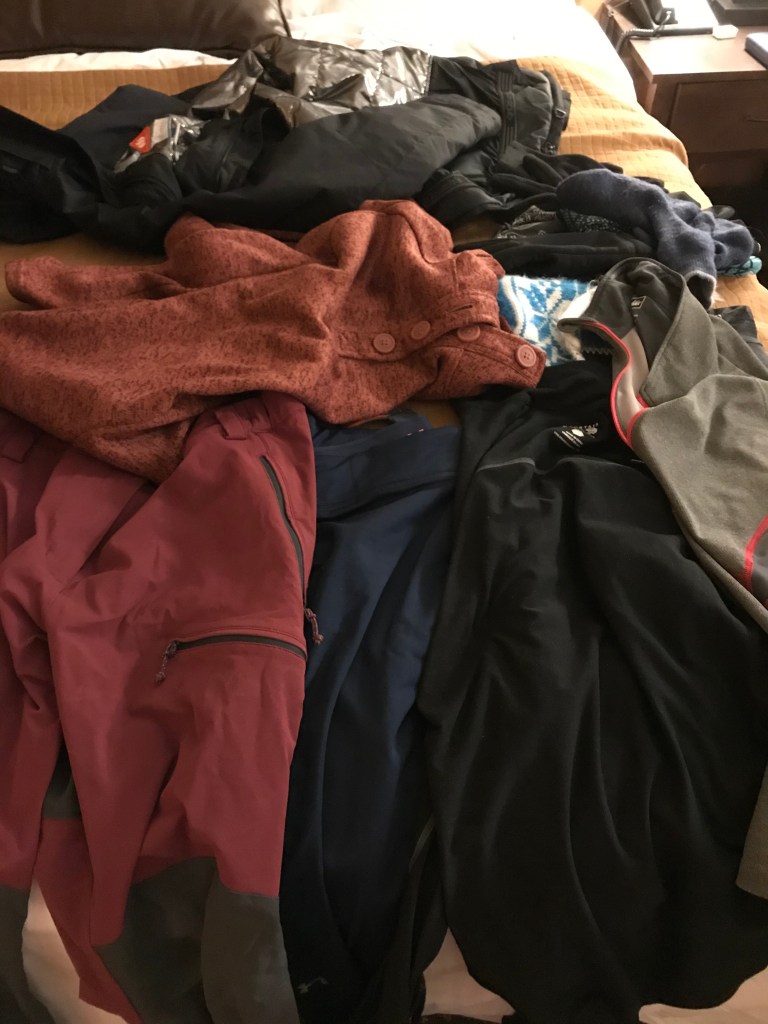
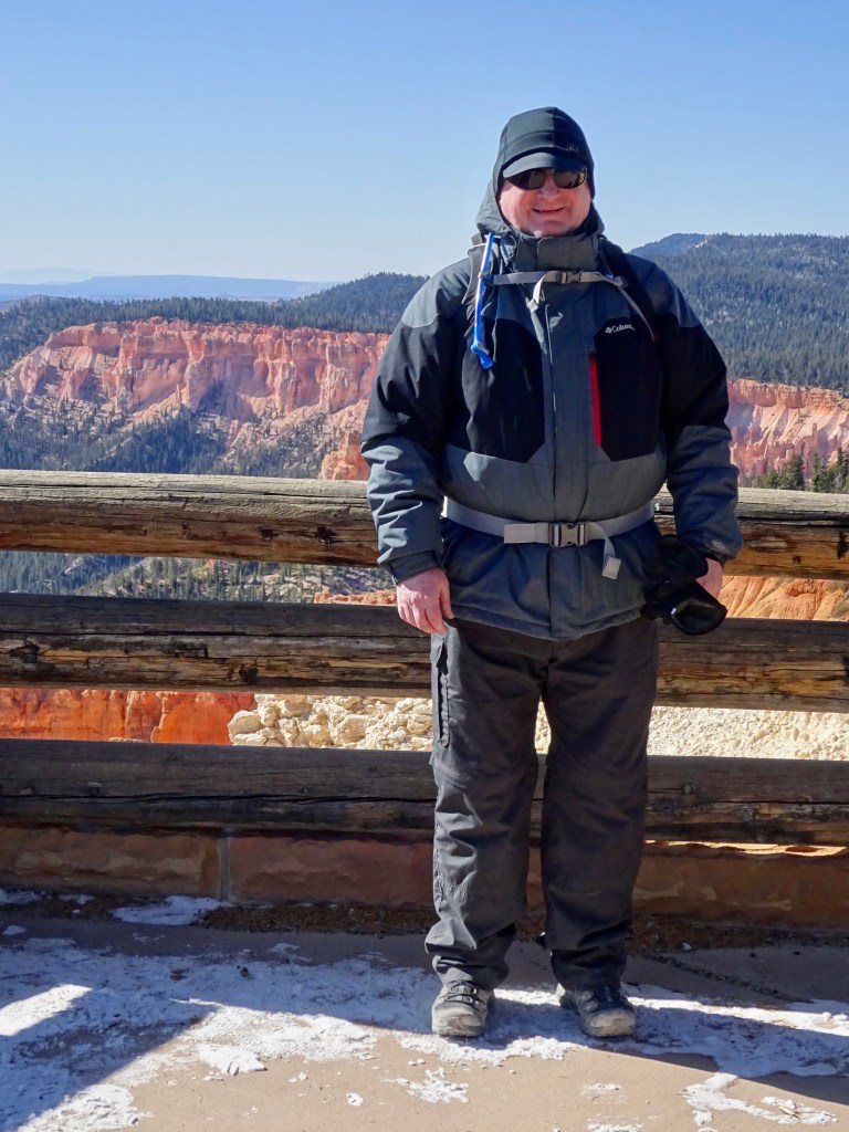
It was a bit chilly this morning. Depending on whether you trusted my weather app or Andrew’s, it was either -14C or -16C. Add in the windchill and it was below -21C. The forecast says it might reach a high of zero if we are lucky. I had previously thought it might be nice to hire bikes and ride the greenway trail that has been constructed since the last time we were here. It stretches into the Park and links the viewpoints. But, whilst it may be reasonable not to let a little bit of cold weather put you off riding a bike, it’s quite another thing to contemplate riding when you’re going to have to wear so many clothes that you’ll look like the Michelin man. We dropped that idea.
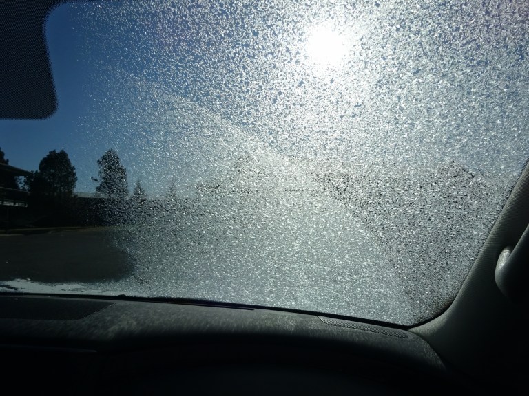
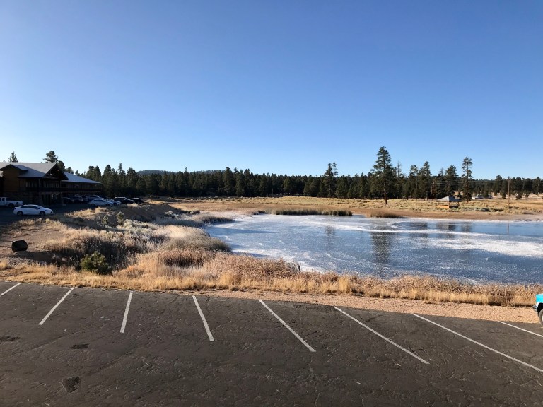
It was also so cold that when we returned to the room after breakfast my glasses steamed up, the water bottles which we had left in the car had frozen solid, the lake was completely frozen over, the windscreen needed ice scraping off it and the tyre pressures had dropped low enough to set off the sensors.

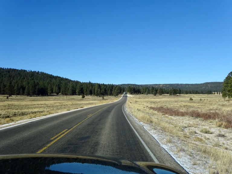
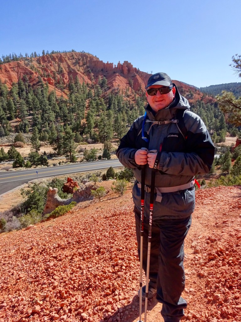
Andrew commented yesterday that my calculation of the conversion factor for canyon to statute miles was an underestimate. And given how our calves are feeling today, he might be right. In any case, that also ruled out a long, hard hike (especially when combined with the likelihood of getting extremely cold) and, apart from the rim trail, most walks do descend down 500 feet or more into the canyon. So, I decided that we would drive to the far end of the road and do a short walk through woods (aka wind blockers) to some viewpoints. We haven’t done this walk before, so it would also be something new.
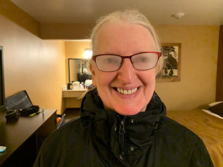
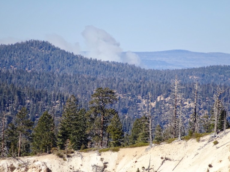
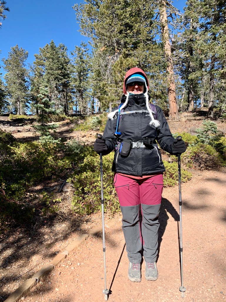
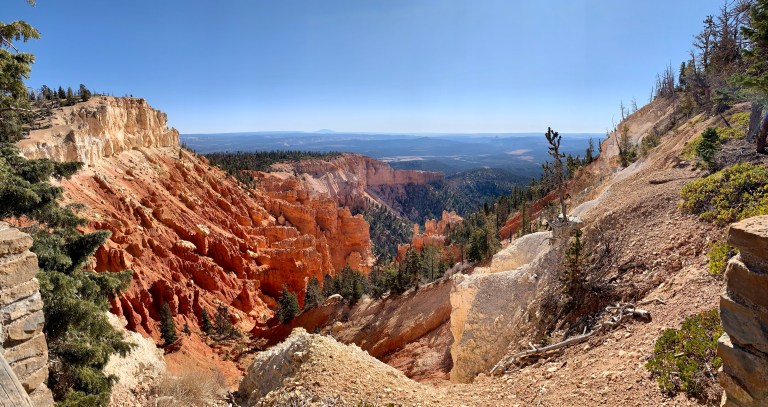
This walk, the Bristlecone Loop, started at Rainbow Point, over 9,100 feet high. Once we had put our numerous layers on, including 3 hats in my case (!), we set off on what turned out to be a quiet and very scenic hike of 1.4 miles.

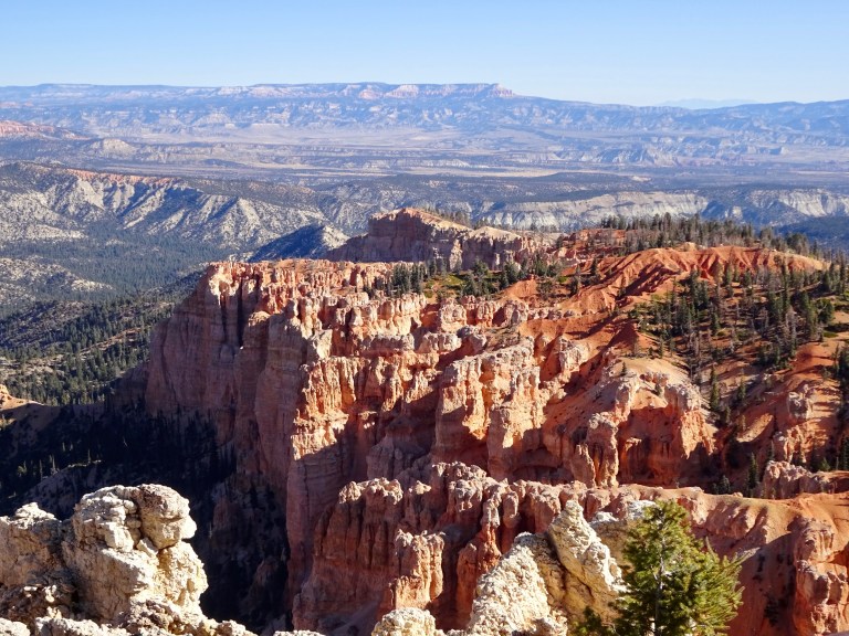

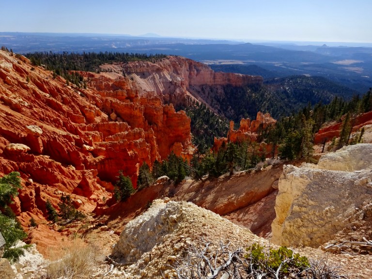

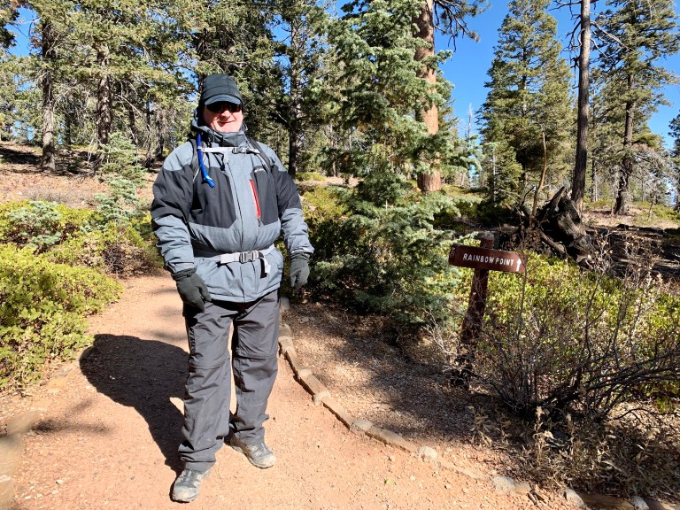
The video of the walk is here: Bristlecone Loop trail
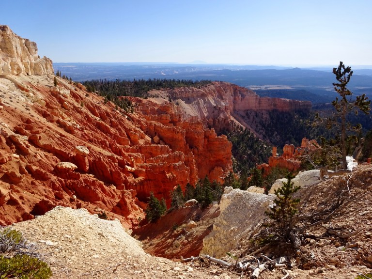
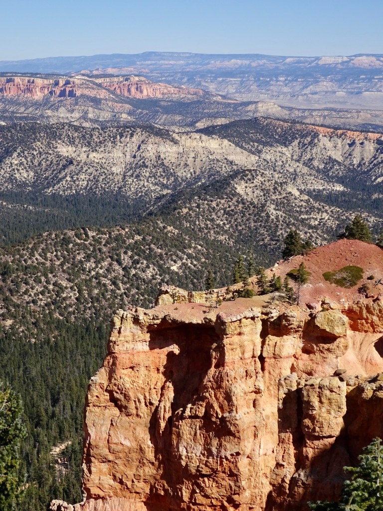
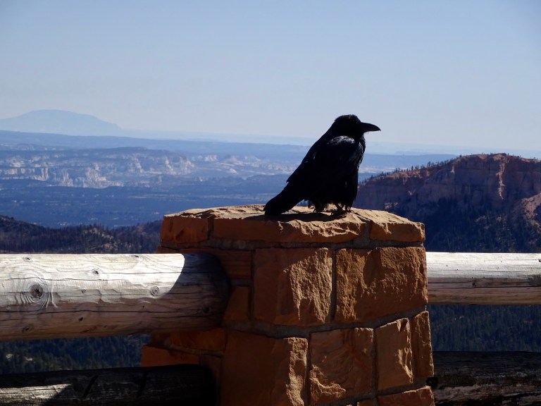
After returning to the car and having some hot tea we drove back down the road, stopping at some viewpoints to admire the scenery and dodge the ravens.
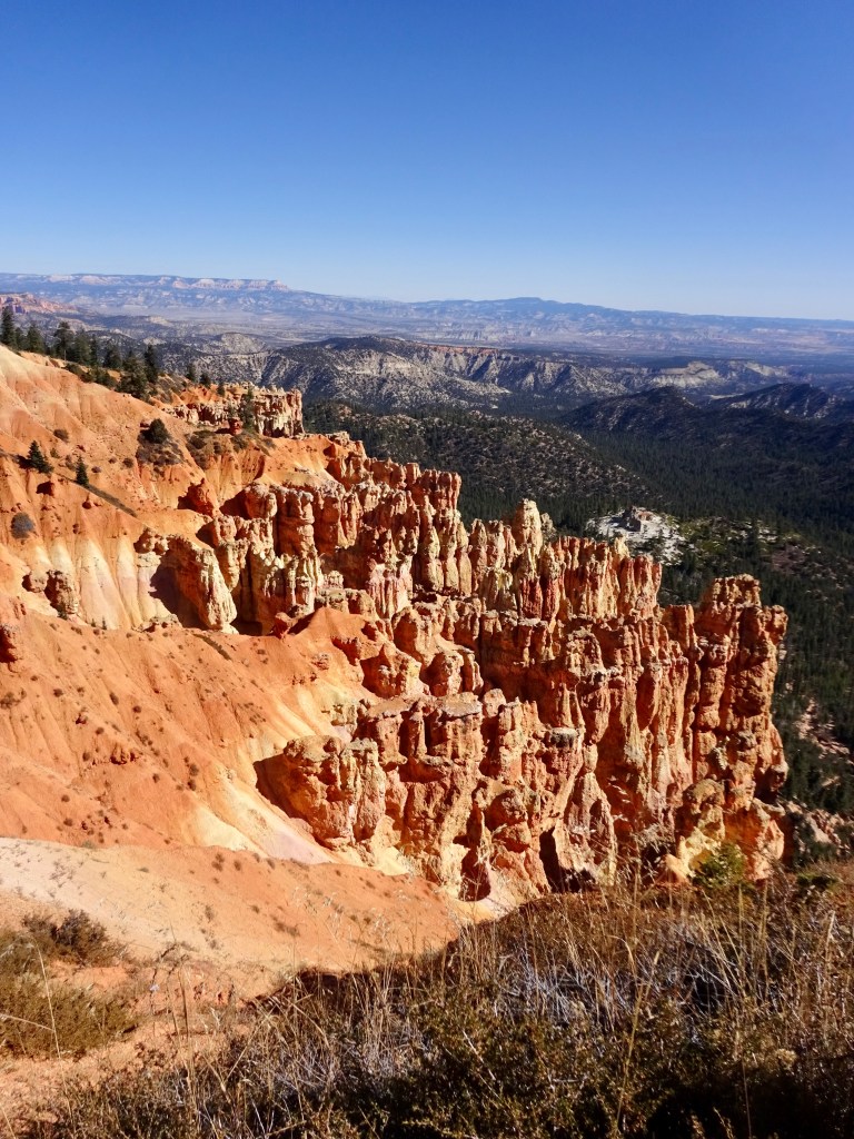

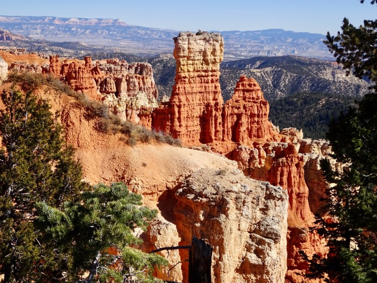
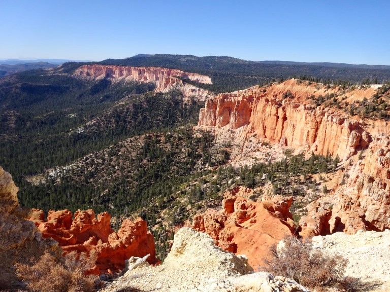
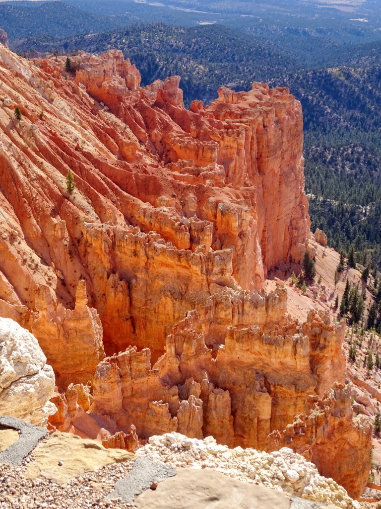
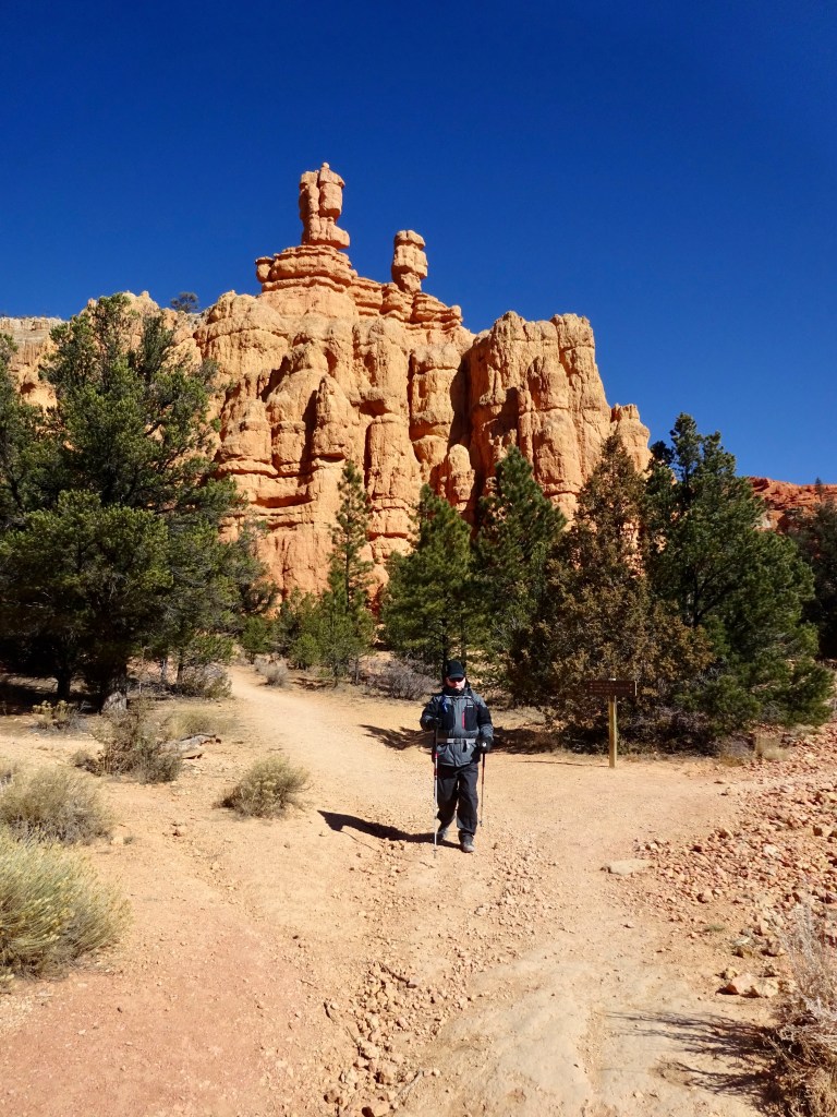
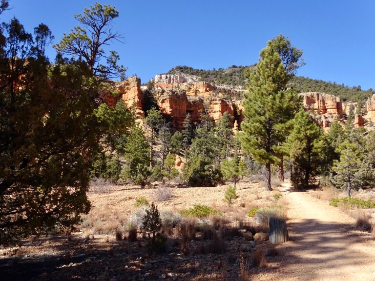
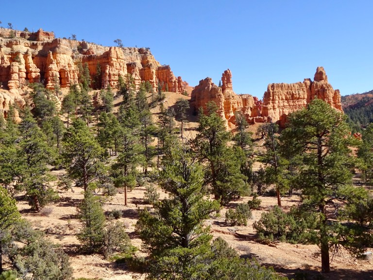
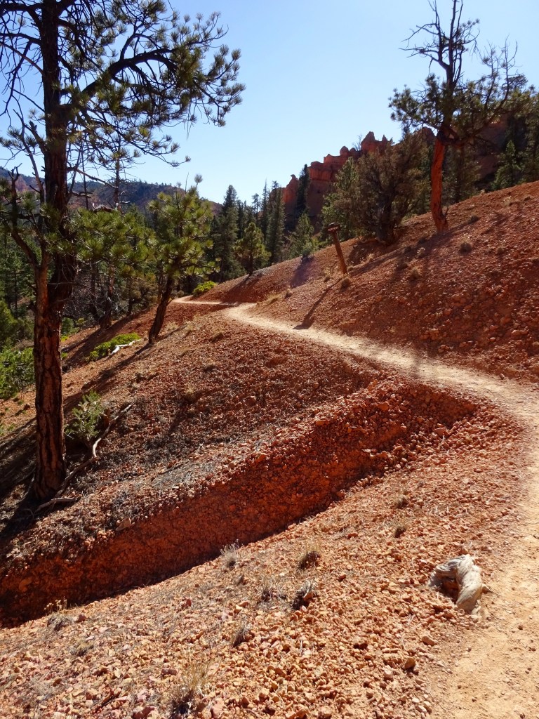
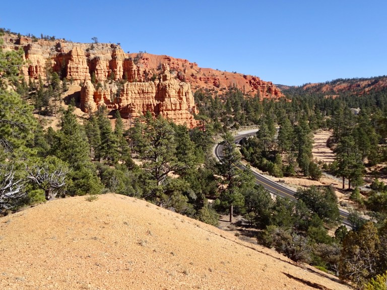
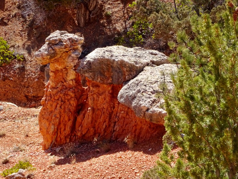
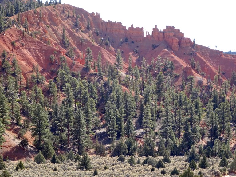
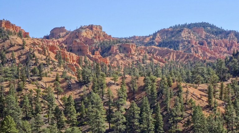
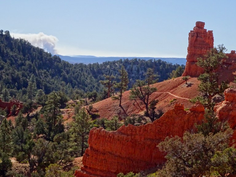
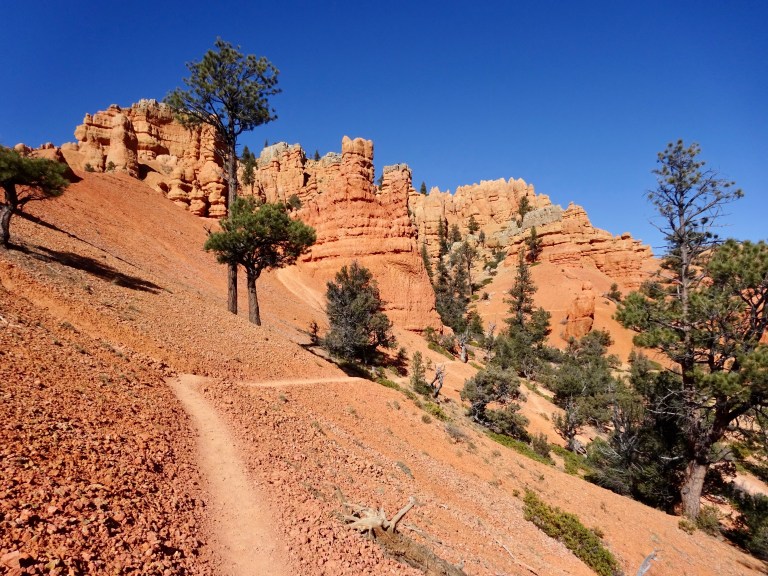
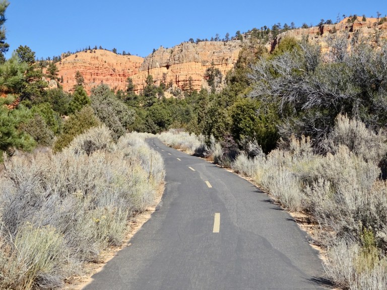
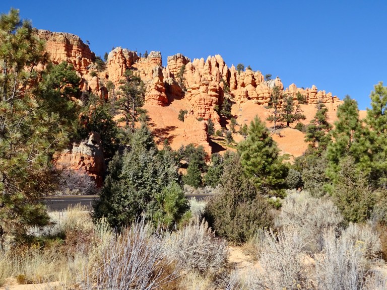
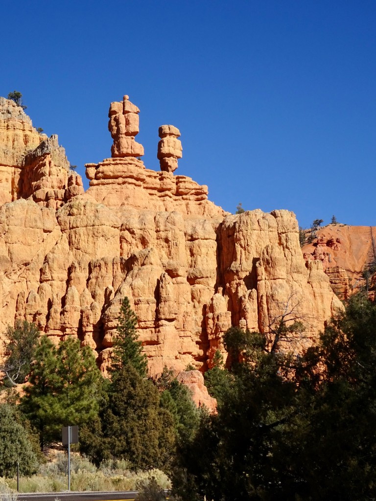
We had, however, run out of short walks to do so, after a quick look around the visitor centre, we drove 15 minutes down the road to Red Canyon, a National Forest area. There is a visitor centre from which you can access a few trails and we picked the Birdseye trail, which also connects to the Photography trail. Red Canyon is always beautiful and, maybe because of the orange rocks, the sky always seems even more blue. We made the walk into a loop by crossing the road near the end of the trail and walking back up the adjacent cycle path. Before you say anything, yes, that rock does look like a camel (and it is even signed as such!). And I got another photo of a bird, but I’m not sure what this one is, so answers on a postcard please!


A video of Red Canyon is here: Birdseye Trail
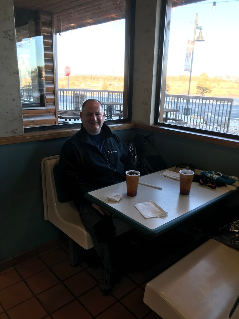
We were now a bit tired, so decided to have an easy rest-of-the-afternoon, relaxing, blogging and eating muffins and drinking hot chocolate, before showering and going to the diner for a quick and casual meal. It was quiet again and service was speedy, the food good. We got to watch the sunset on the opposite cliffs and see a herd of deer run across the road.
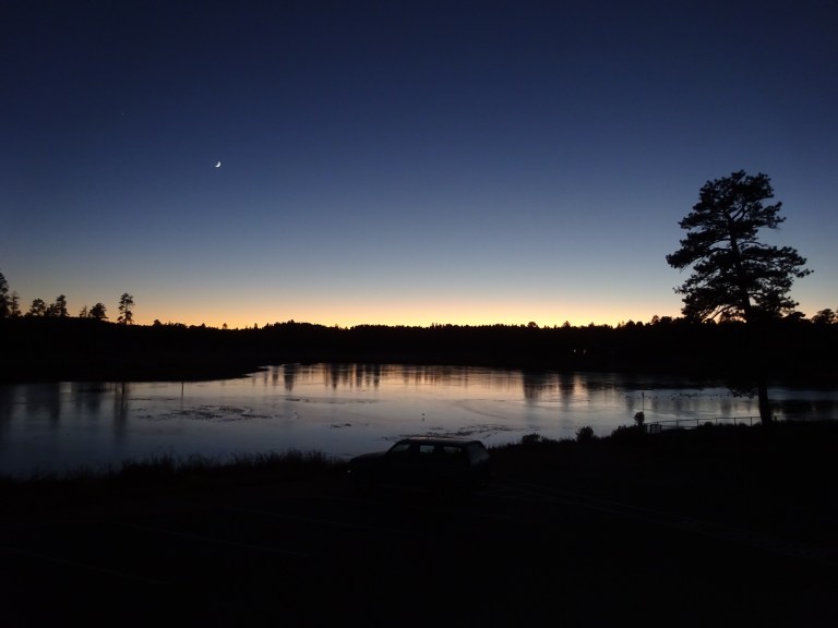
We called in at the grocery store in the way back to our room, by which time the moon was up and the lake looked very pretty in the twilight.
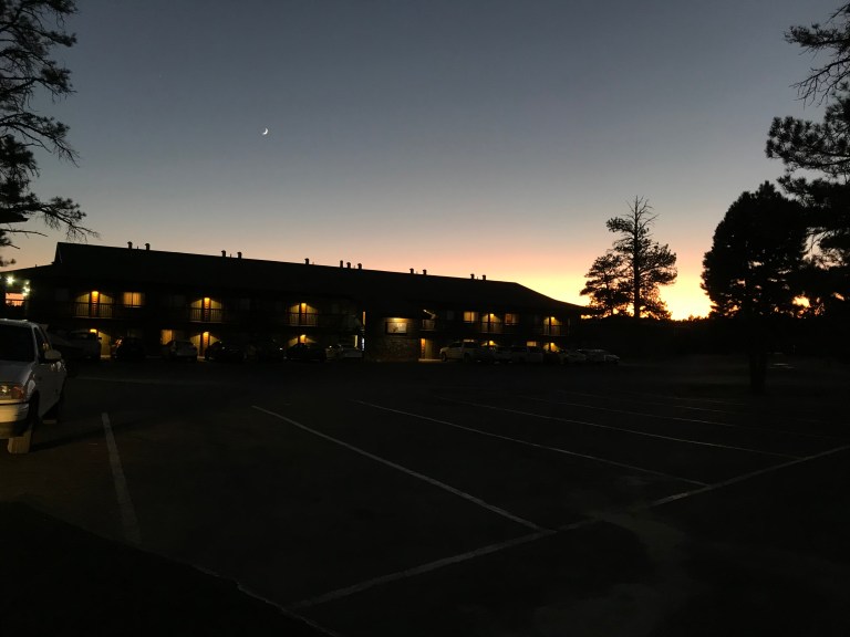
By 8pm it was only -8C so I decided to stop being nesh, layer up and go and try for a night photograph. In theory, the lake would be correctly aligned for the Milky Way. Rather gallantly, Andrew came out too. And this is the preliminary result, which I hope will reveal even better results when I work on the RAW format version at home.
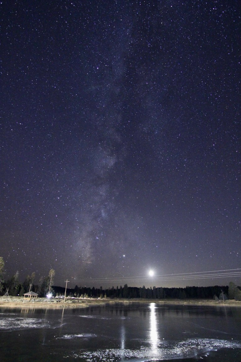
As a bonus the space station sailed overhead while we were outside!
Photos taken: 108
Videos made: 2
Miles hiked: 3.2 canyon miles
Steps taken: 14,813
Distance travelled: 62 miles
